Date: Tue, 28 Feb 2006 07:38:29 -0500
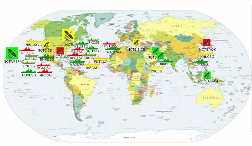
I am supporting a simple OpenMap application and I was asked to find a
map that resembles the image attached. They are looking for a map with
the countries in different colors.
Thanks,
Chuck
-----Original Message-----
From: owner-openmap-users_at_bbn.com [mailto:owner-openmap-users_at_bbn.com]
On Behalf Of Dave Brown
Sent: Tuesday, February 28, 2006 4:54 AM
To: 'openmap questions'
Subject: [OpenMap Users] Labelling
Can anyone explain to me the method I would use to render Labels on a
street
shapefile I have.
There is a specific column in the DBF which I wish to use as the label.
Also, 'while I'm here.. ' Re' Routing.. How can openmap take into
consideration the direction of a particular road, whether its oneway or
not
when route calculating ? The direction indicator in my case also comes
from the accompanying DBF for the shapefile.
Thanks alll in advance.
Dave.
--
No virus found in this outgoing message.
Checked by AVG Free Edition.
Version: 7.1.375 / Virus Database: 268.0.0/268 - Release Date:
23/02/2006

--
[To unsubscribe to this list send an email to "majdart_at_bbn.com"
with the following text in the BODY of the message "unsubscribe
openmap-users"]
--
[To unsubscribe to this list send an email to "majdart_at_bbn.com"
with the following text in the BODY of the message "unsubscribe openmap-users"]
(image/jpeg attachment: map.jpg)